Use Your Phone with GPS Route Files
Sport Touring Corner
By Norm Kern
Routes are one of the top attractions of Motorcycle Sport Touring Association (MSTA) rallies. Someone who knows every local road has strung the best of them together so you can ride one fun road after another, all day, every day of the rally. GPS technology makes it easy for route masters to distribute event routes in standard GPX file format so rally attendees can load them on their GPS and enjoy self-guided tours at our rallies.
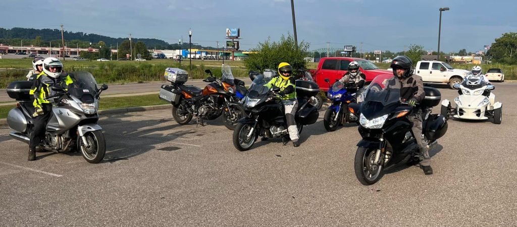
I create the routes for my annual MSTA FlyBy Week event in Marietta, Ohio, and help attendees load and use them there and at the many other rallies I attend each season. It’s fun to help new people get acquainted and connected. Some who would like to use the route files don’t have a dedicated GPS unit on their bike, but many do have a smartphone they can mount on their handlebar and power up from the bike.
Smartphones have many GPS apps available, but there is no way for me to learn and support all of them. I wanted to find one app I could learn, recommend and support, so I asked around on Facebook, got recommendations and figured out a short list of requirements:
- 1. App must work with existing MSTA GPX route files that were developed for Garmin and other GPS
- 2. App must be capable of voice-prompted turn-by-turn route guidance
- 3. App must be able to display tracks as well as routes on the map and support navigating them
- 4. App install and setup must be simple enough to explain in a tutorial
- 5. Procedure for import of GPX files should require only a few steps and be easy to explain in a tutorial
- 6. Must be available for both iPhone and Android so I only need to learn and support one app
- 7. Inexpensive (free if possible) so there is no financial barrier for those who want to try GPS navigation for the first time.
I quickly found three popular contenders that meet at least six of the above criteria:
Ride With GPS looked great until I learned that the subscription fee is $60/year. If someone came to FlyBy Week and asked for help using my routes on their phone, would they be willing to pay $60 for an app to do that? (They may only use it for my event and not need it again.) Probably not!

Rever’s $40/year subscription fee is less but still higher than I would like.
OsmAnd got my attention right away. It meets all seven of my requirements, plus:
1. Very easy to download and import GPX files.
2. Can display and navigate both routes and tracks, plus alert for nearby waypoints in the GPX file, so it works well with existing MSTA GPX files
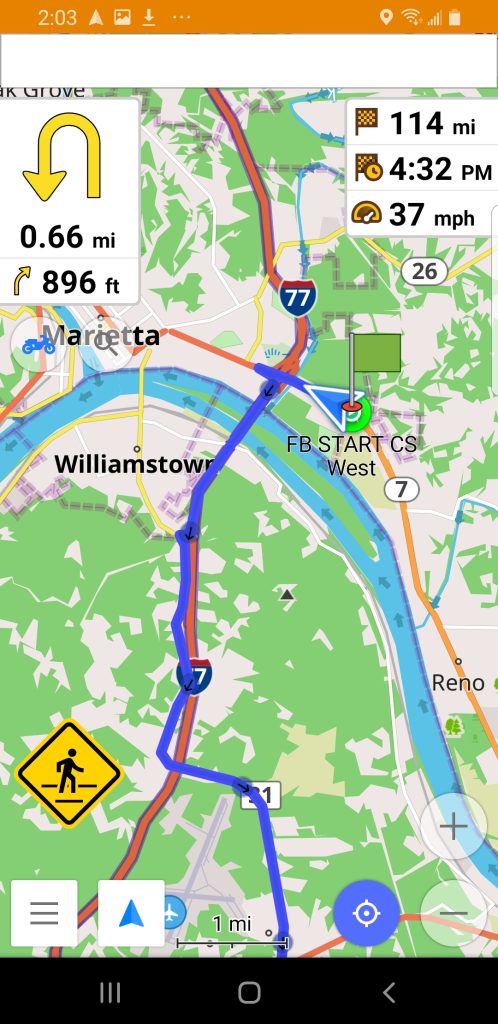
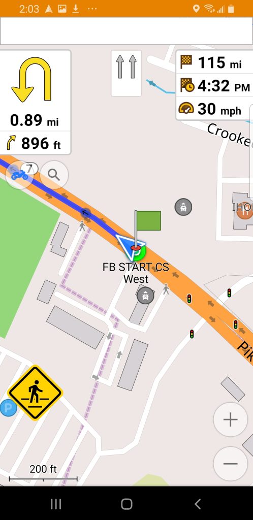
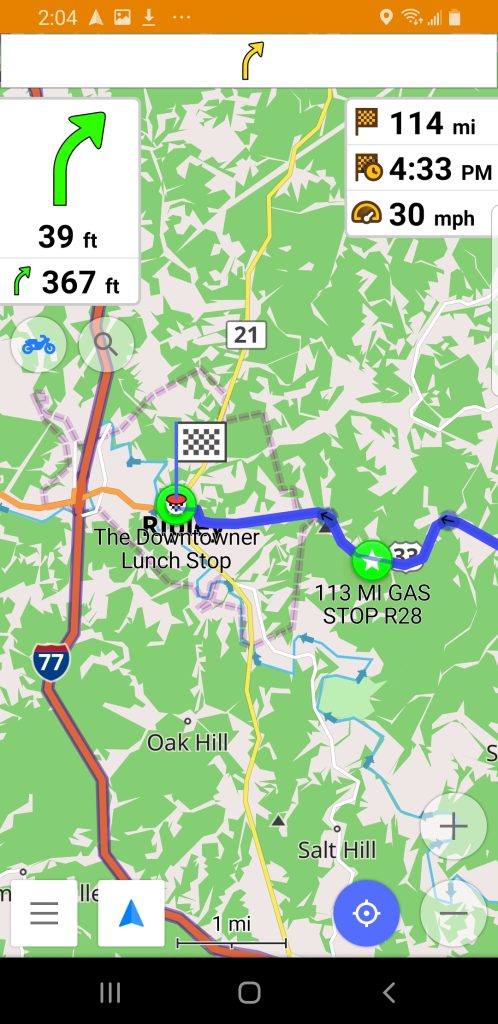
3. You can download and install the free version that allows up to seven states of downloadable offline map coverage. That meets the needs of most rally attendees with no initial or subscription cost.
4. If you want unlimited map updates and downloads, you can subscribe for only $9.99/year.
I downloaded OsmAnd on my phone, experimented with settings and tested it on a route in my neighborhood to see how it handled waypoints, off-route recalculation, etc. Then did a 100 mile ride using one of my Norms-rides routes. OsmAnd is fully capable once you have it set up and know how to use it.
Using the down time that came with the end of riding season, I developed a complete tutorial for OsmAnd and published it on the FlyBy Week website at https://flybyweek.com/osmand.html
There you will find discussion topics:
GPS phone app advantages and disadvantages
Why to choose OsmAnd instead of some other app
Specific usage tips
The best feature of the page is step by step tutorials for:
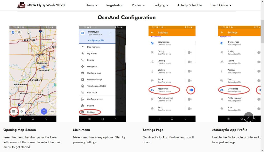
1. Configuration
2. GPX route import
3. GPX route navigation
4. Route deletion and cleanup
The tutorials include over 100 screenshots with highlighted information and detailed commentary to guide you through each step. Check it out!
Connect with local Ohio MSTA riders at these monthly breakfasts:
Southwest Ohio Breakfast, 9AM February 18
Village Family Restaurant
144 S. Main St.
Waynesville, OH 45068
Central Ohio Breakfast Meet – Sunday March 5.
Arrive at 8 am to eat, 9AM to ride if weather permits.
Portside Cafe
6515 S High St
Lockbourne, OH 43137


